NLS
maps
A remarkable map resource became available via the internet in
October 2013. It is hosted by the National Library of Scotland***, but
has historic maps of other places including Ipswich right down to
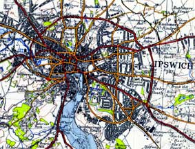
street level. By clever jiggery-pokery the Google Earth mapping has
been co-ordinated with maps made in the past; a slider enables the
period map to become transparent over a satellite view. Below we give
links to
some specific maps of our area; unfortunately, some of the date ranges
are a bit broad.
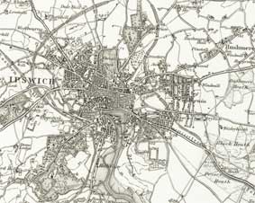
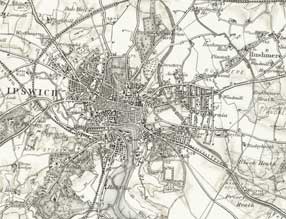
NLS has uploaded a contiguous set of 1884 and 1902 sheet maps
(25" to the mile) with much detail of
Ipswich, all zoomable to explore detail. Now
includes a slider to gradually
reveal the modern
street layout (satellite image). We consider these
to be the
best historic maps of Ipswich available on the web at the moment:
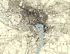 Ipswich
1884 map
Ipswich
1884 map
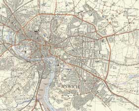
Ipswich
1903/4 map 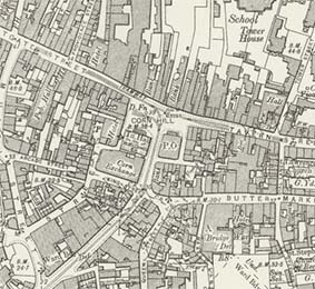
Some of the other options have rather broad date-ranges...
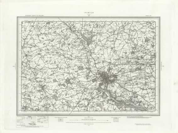
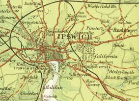
- Ipswich area, OS one inch 1892-1908
 As above,
but
with relief hatching
As above,
but
with relief hatching- Ipswich area, OS one inch 1945-1947
 Ipswich area, OS
half
inch 1937-1961
Ipswich area, OS
half
inch 1937-1961- Ipswich area, Bartholomew half inch 1902-1906 (done for
Cyclist
Touring Club)
(***In the NLS 'Map images' resource you can access and view
over 48,000 maps as high-resolution, colour, zoomable images. The maps
date between 1560 and 1961 and relate primarily to Scotland; however,
they also have a small selection of maps beyond Scotland, including
maps of England, Ireland, Great Britain and Belgium. With
careful navigation, maps on individual sheets can be viewed (as the
example above). The piece de
resistance of the NLS resource is the continuous mapping over
England, Wales and most of Scotland, all zoomable.)
Home
Please email any comments
and contributions by clicking here.
Search Ipswich
Historic Lettering
©2004
Copyright
throughout the Ipswich
Historic Lettering site: Borin Van Loon
No reproduction of text or images without express written permission