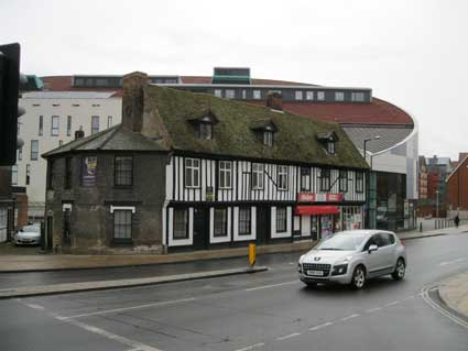
 2013 images
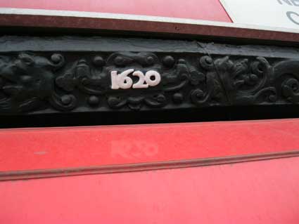
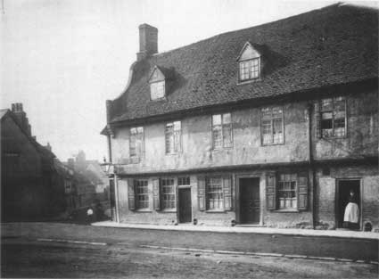 late
19th C.
late
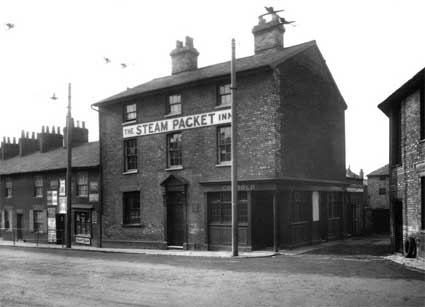
19th C. 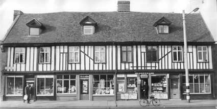 1960s
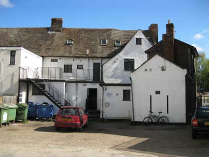
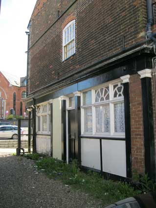
1960s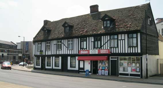 2013 image
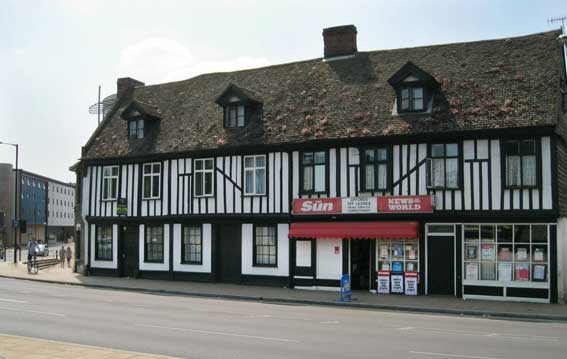 See it on the
1881 map below.
See it on the
1881 map below.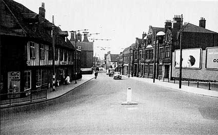 pre-1961 photograph
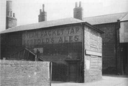 See it
on the 1881 map below.
See it
on the 1881 map below.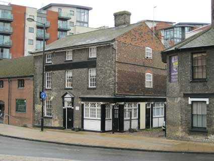 2013
2013
 See it
on the 1881 map below.
See it
on the 1881 map below.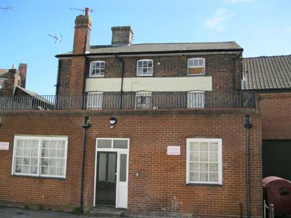
 2013 images
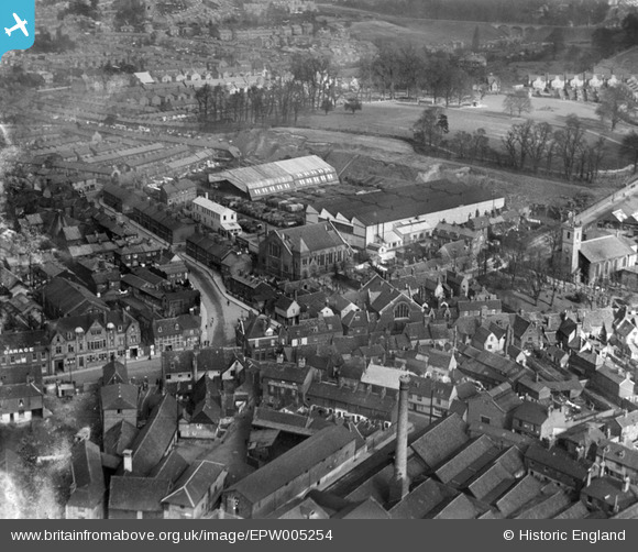 1921
aerial photograph
1921
aerial photograph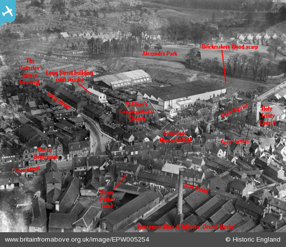
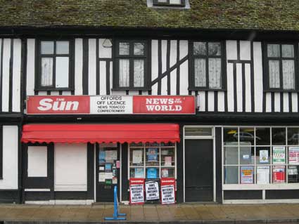
 2017
image courtesy John Norman
2017
image courtesy John Norman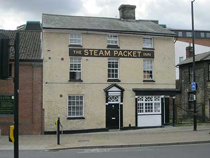
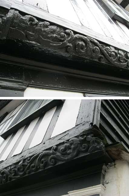
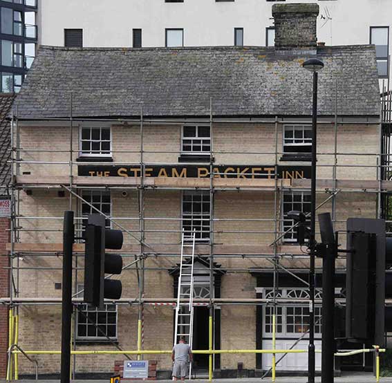
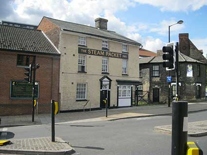 2017
images
2017
images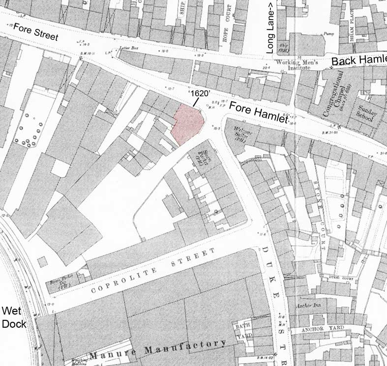 1881 map