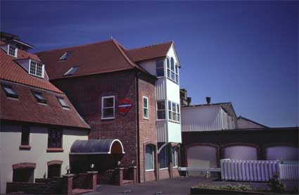
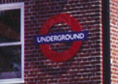
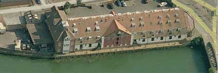
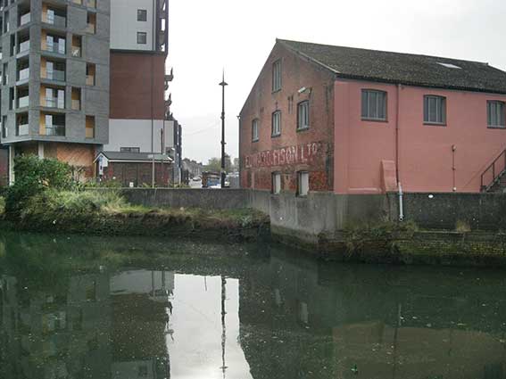
Edward Fison Ltd, Bolenda Engineering, Stoke Bridge maltings, 'UNDERGROUND'
 2021
image
2021
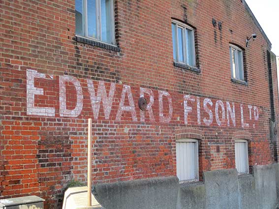
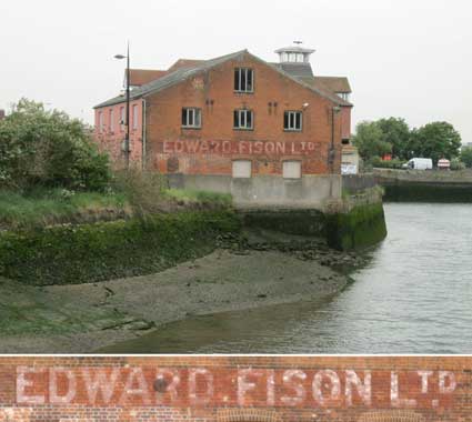
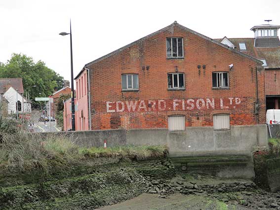
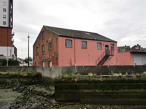
imageAbove: the Edward Fison lettering
photographed during the third pandemic lockdown in February 2021 – the
first time we've taken it from Dock Street – shows that weathering over
the past twenty years has strengthened the characters.
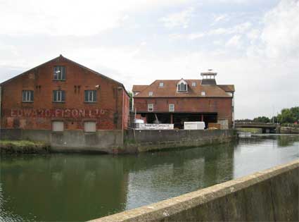
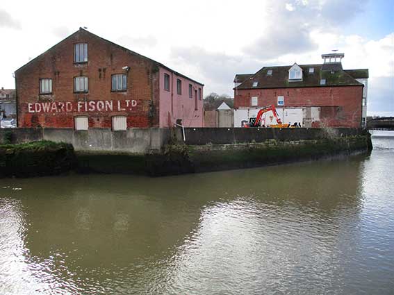
 2000 images
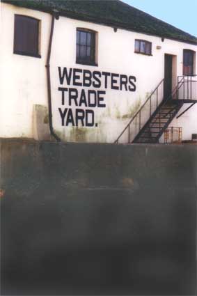
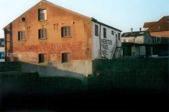
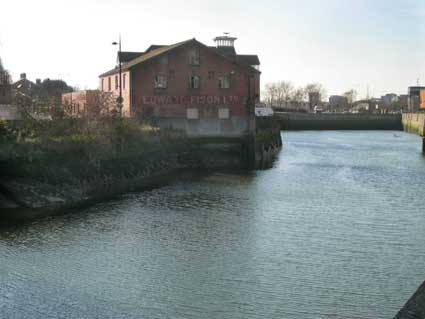
 2012 images
 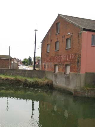 2012
2012
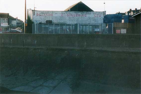
 2016 image
 2000 image
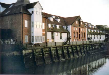 2006 images