 1961 image
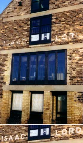 2000 image
 Photo
courtesy The Ipswich Society
Photo
courtesy The Ipswich Society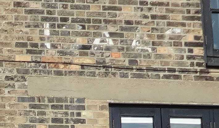 2014
image courtesy Tim
Leggett
2014
image courtesy Tim
Leggett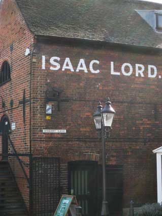 2014
image
2014
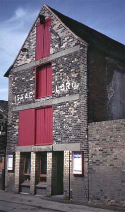
image 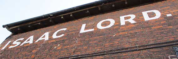 2018 image
 2016 images
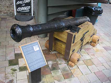
 2017
images
2017
images 2017
photograph courtesy John Norman
2017
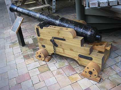
photograph courtesy John Norman
 2017
images
2017
images
 2000 image
  2003 image
 2011/12
images
2011/12
images
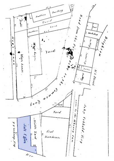 Undated plan
by Bucke
Undated plan
by Bucke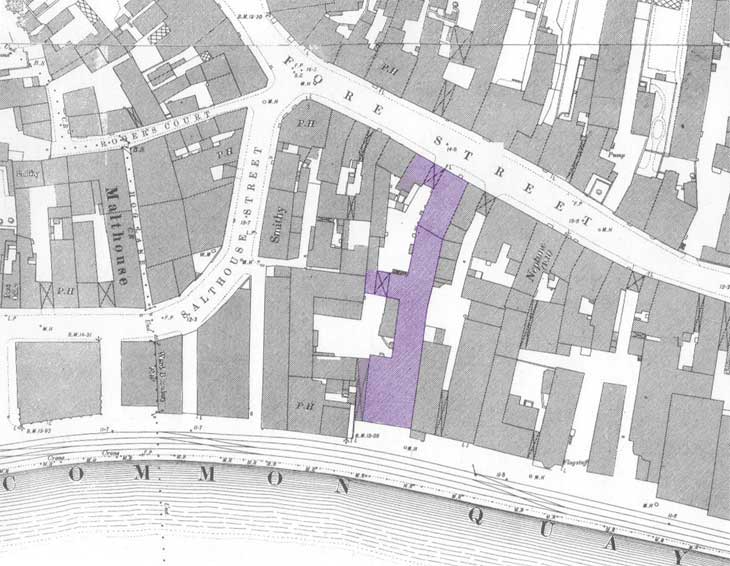 1881 map
 2012 image
 2012 images1961 image
 2012
images
2012
images
 2014 images
 2016 images
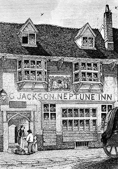 1845
1845
 2013 images
 Courtesy
Charles Simpson
Courtesy
Charles Simpson
 1845
1845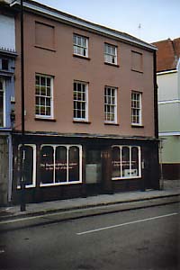
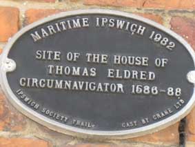
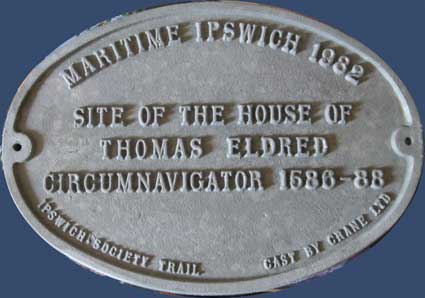
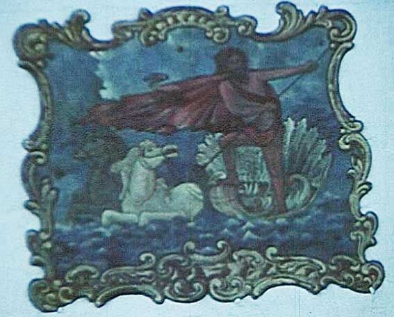
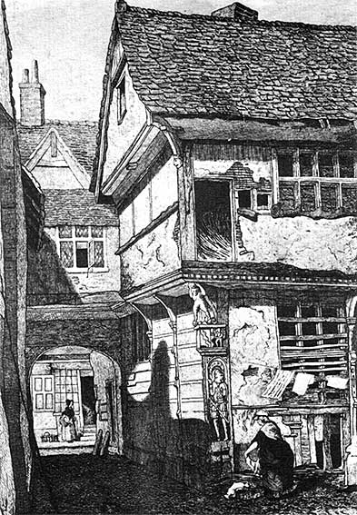
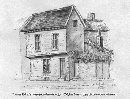 Thomas
Eldred's house, now demolished
Thomas
Eldred's house, now demolished
 Photographs courtesy Ipswich Museum